Utilized Equipment
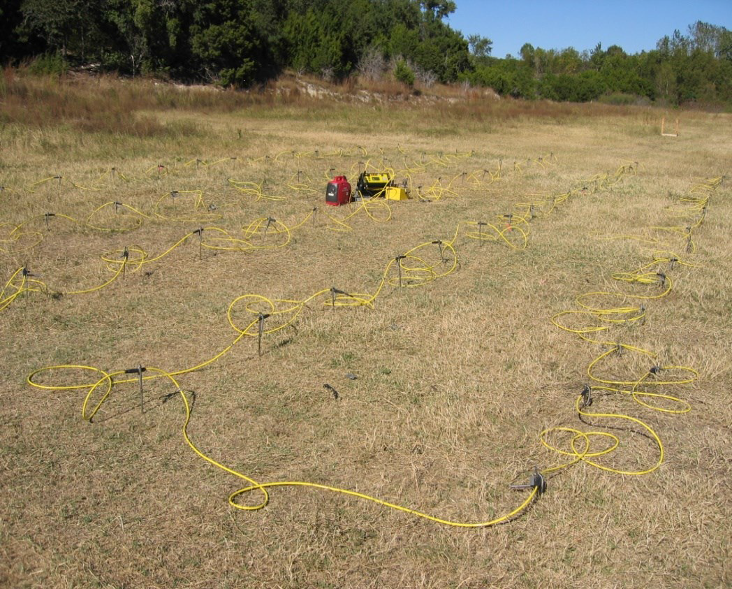
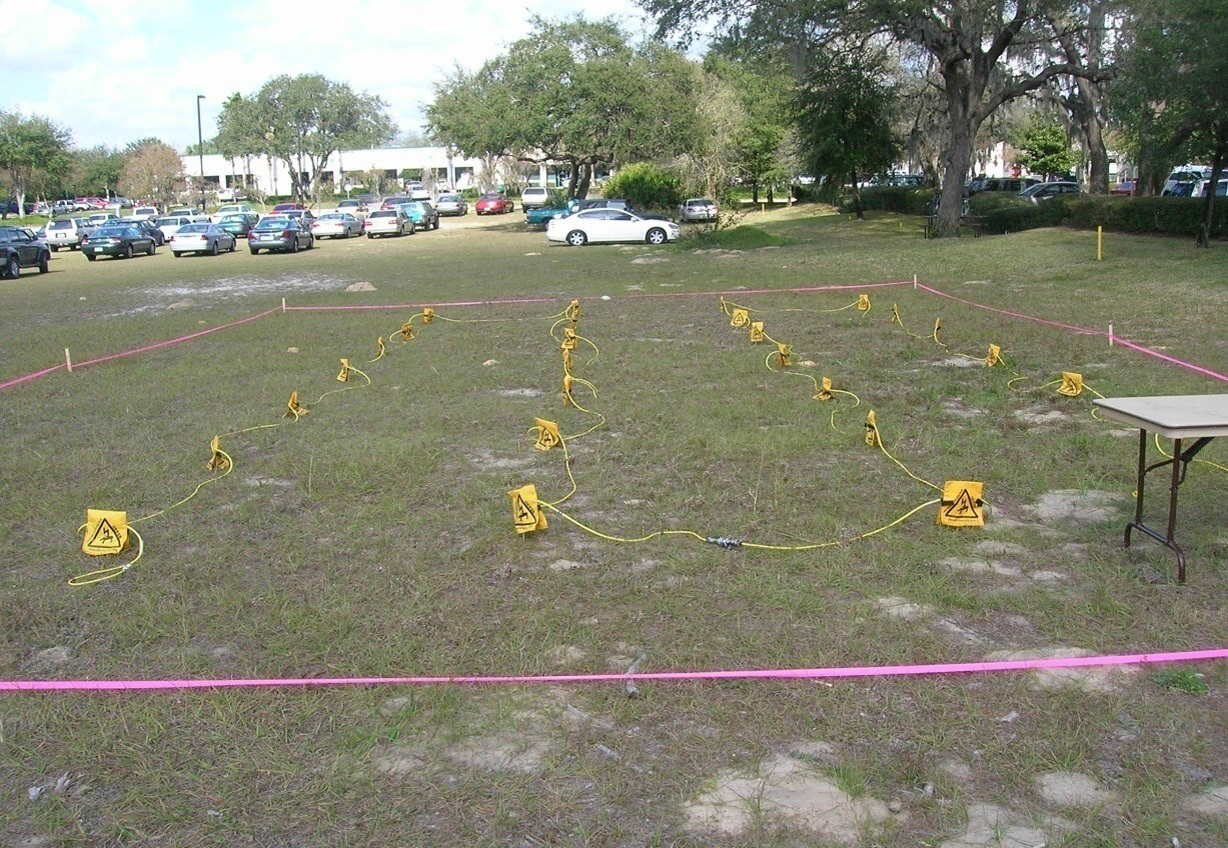
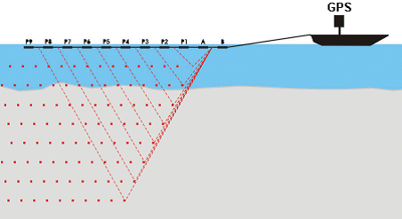
We are local dealers for România, Bulgaria și Moldova of AGI geophysical equipment and we use High-speed 2D/3D Resistivity/IP/SP Imaging System Package - 56 Electrodes which is an automatic generating system of ρ resistivity and polarization induced by PI , with 8 channels, which uses passive multi-electrode cables and a built-in distribution box for 56 electrodes. It can also make manual recordings, with 4 classic cables.
Technical specifications:
- Automatic display, recording and memorization of the measured physical quantities (resistivity, polarizability, suction resistance, current intensity and potential difference), date, time and electrode coordinates, according to a program (command file) previously created and introduced in the internal memory of the device, a program elaborated according to the estimated characteristics of the basement.
- Maximum power: 200 w.
- Measuring range: ± 10 V, at a resolution of 30 nV.
- Output current: 1 mA - 2 A dc, at 800 V.
- Automatic compensation of the natural potential throughout the recording.
- Current type: pulsed. Pulse duration adjustable in the range 0.4 - 14.4 sec.
- Polarization measurements induced in the time domain, with 6 samples measured and stored in memory.
- Minimum accuracy of 1%. Parasites attenuation: minimum 100 dB at f> 20 Hz.
- Supports all the usual electrode configurations (Wenner, Schlumberger, dipole-dipole, pole-dipole, pole-pole).
- The Administrator software allows to create the command files, upload them to the machine memory and download data to the computer.
- The multi-electrode cable investigation system, with the possibility of fully automated roll-length measurement, allows continuous recording over long distances.
- By applying special surface devices, 3D images of the hidden structure of the basement can be obtained.
EarthImager 1D, 2D or 3D inversion software interprets (reverses) the induced resistivity and polarization data and produces images in the form of probes, sections or volumes that reflect the structure of the basement.
Main features:
- Topographic correction and image with topographic elements.
- Prior setting of the inversion parameters.
- Checking records and removing parasitic data on multiple paths.
- Graphical modeling of the subsurface structure with the Prospecting Simulator, based on prior, known or presumed information. The combination of direct simulation and reverse simulation leads to obtaining the structural image of the basement with a predetermined error.
The existing devices are represented by 280 m multi-electrode passive cables, with a distance between electrodes of 5 m, which leads to a maximum depth of investigation of 45 m, with a distance between electrodes of 2 m, which leads to a maximum depth of investigation. 25 m but with a higher degree of detail for the areas near the topographic surface.