Current Research Directions
Applications of the geophysical method of resistivity
Studies and Analysis
- Geoelectric research and monitoring of unstable areas (landslides, subsidences, saliferous structures, anthropogenic processes). Determination of physical and geometric parameters of buried structures.
- Locating the inhomogeneities in the basement (gaps, buried objects, faults, fractures, altered areas, buried relief).
- Environmental studies. Contouring of contaminated areas, infiltration detection, design and monitoring of ecological pits.
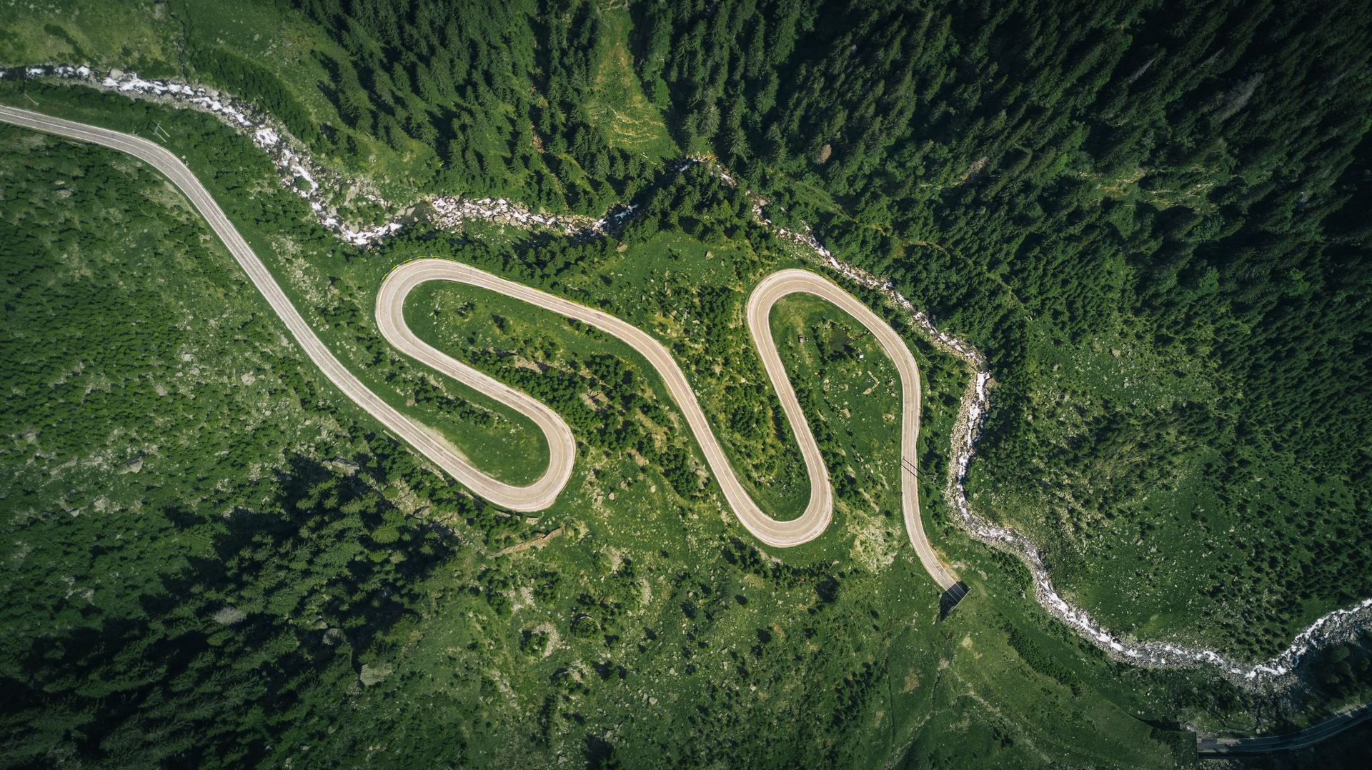
- Land analysis for civil and industrial construction foundations (buildings, bridges, roads, tunnels). Highlighting the geological structure, the degree of compaction and humidity of the formations, of the stable and unstable areas.
- Dam stability studies. Detection and location of leaks and areas with reduced resistance in dams built from dredging.
Monitoring
- Monitoring of constructions during the execution phase and during the operation. Critical infrastructure (roads / highways, bridges, railways, tunnels, subways, airports)
- Installation of manual and / or automatic inclinometers, commissioning, data interpretation and report preparation
- Installation of manual and / or automatic piezometers, commissioning, data interpretation and report preparation
- Installation of sensing sensors, commissioning, data interpretation and report preparation
- Installation of automatic topographic stations monitoring critical infrastructure, construction, unstable areas.
- Monitoring the evolution of buildings, critical infrastructure, unstable areas with the help of radar satellites.
Prospecting and Investigation
-
Mineral deposits prospecting (massive and disseminated ores, metallic, polymetallic, gold-silver, non-metallic, coal, building materials, other useful rocks). Determining the necessary elements for the calculation of reserves.
-
Investigating archaeological sites, Identifying and locating buried artifacts and archaeological structures.
Geotechnical studies of roads / highways, civil and industrial constructions
- Land analysis for civil and industrial construction foundations (buildings, bridges, roads, tunnels). Highlighting the geological structure, the degree of compaction and humidity of the formations, of the stable and unstable areas, for the location of the civil and industrial constructions
- Analysis of the foundation of the pillars of bridges and other constructions
Hydrogeology / Drilling
- Localization of aquifer structures. Determination of geometrical parameters for the calculation of reserves.
- Bathymetric measurements, sampling of marine / river / lake sediments, flow measurements, river / marine current measurements, geophysical profiles of continuous resistivity on water.
- Drilling for water supply